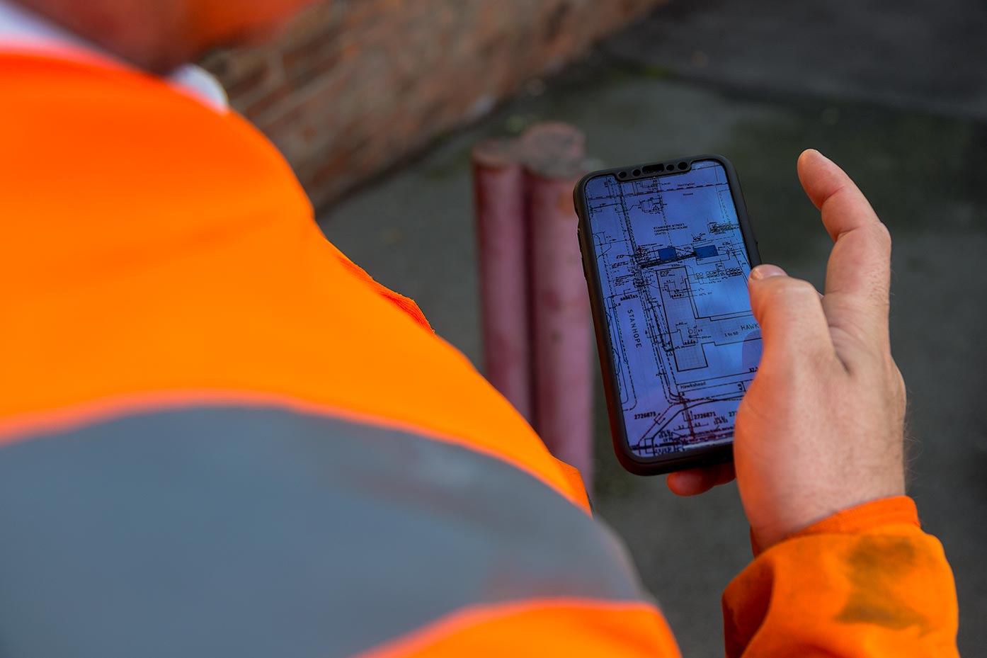
As-laid surveys allow us to determine the specific position of underground services and relate them to the principle design criteria. By ascertaining the location of underground assets quickly, efficiently at cost-effectively, we are able to present detailed representations to our clients in various formats including AutoCAD & PDF.
Subsequent to employing techniques including GPS & Topographical recordings, we then deploy our CAD team in order to map out 2D & 3D representations with specific depths & measurements. We employ the latest innovations to ensure accuracy & comprehensive clarity over your complete networks.
See what Select Surveys can do for you. Send us an enquiry.
