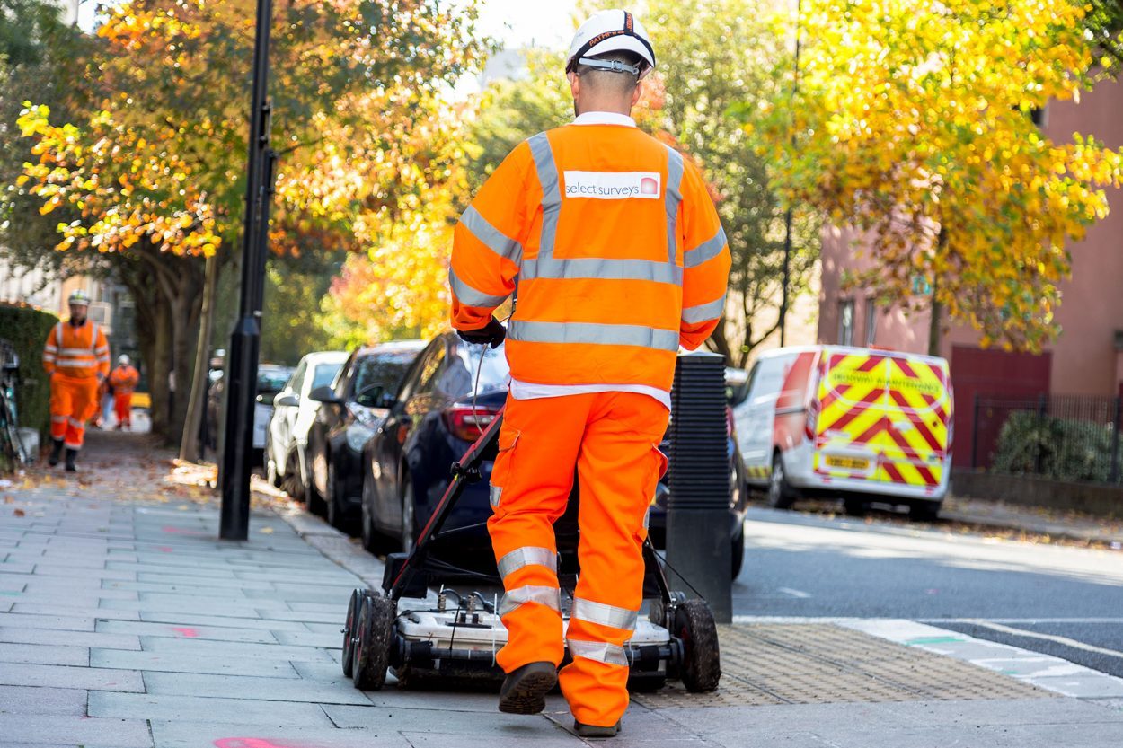
Mapping the subsurface utility environment in 3D is a critical process prior to excavation, as it provides cost effective planning; enhances health & safety; and minimises disruption to utility consumers as well as road traffic & pedestrians throughout the course of your project.
We carry out these surveys from desktop search through to site completion on a daily basis and we combine all of our in-house services, including statutory searches & 3D Modelling, to deliver the highest quality surveys at the best possible value.
See what Select Surveys can do for you. Send us an enquiry.