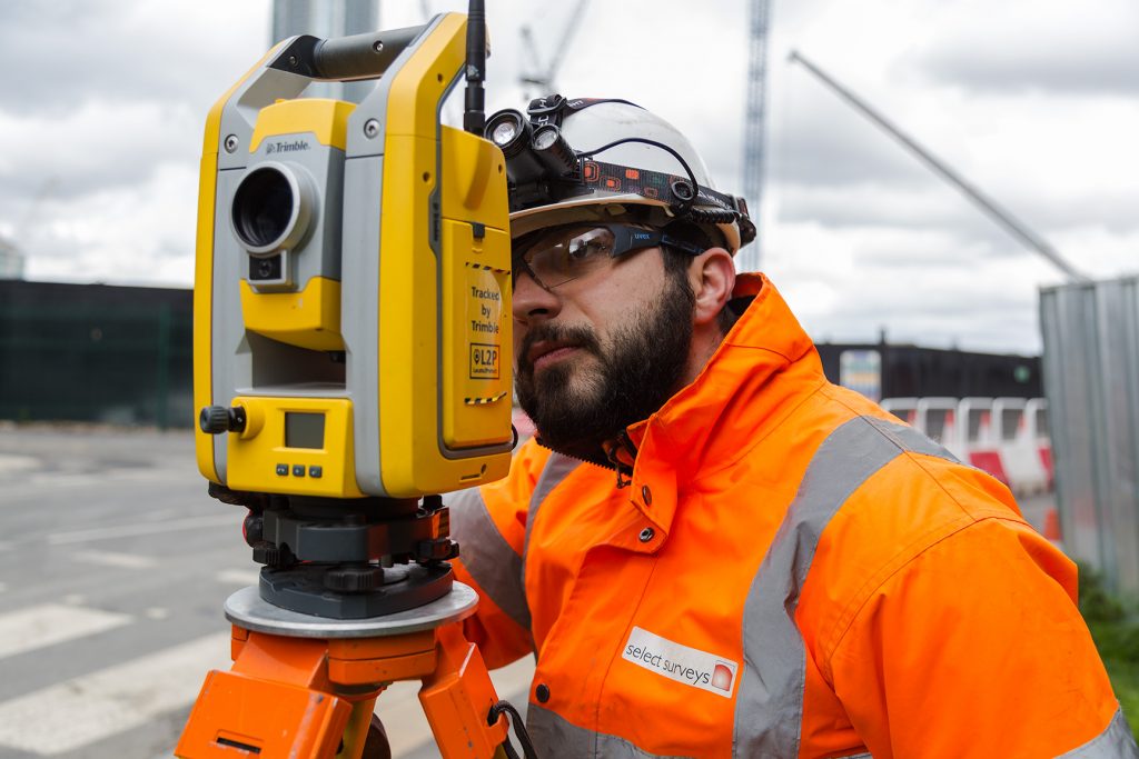
Topographical surveys are deployed by our fully trained and equipped teams to a very high-standard and we are able to offer output using a variety of mapping applications. This information is often translated into GIS and BIM systems for our clients to utilise in great detail. We carry out post-electromagnetic and radar topographical surveys, to create a highly-effective utility mapping solution.
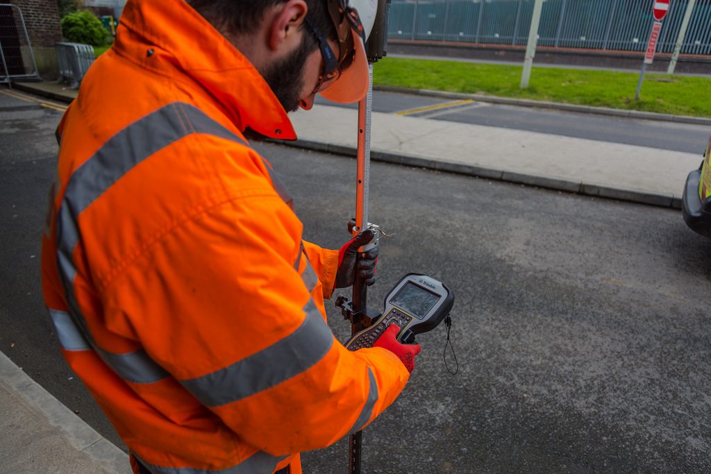
Global Positioning Surveys (GPS) offers a range of position accuracy and is widely used in the utility surveying industry. It uses networks of orbiting satellites which continuously broadcast a microwave signal to our receiver/transmitter and it gives us unprecedented accuracy on a location to be decoded and exported into CAD applications.
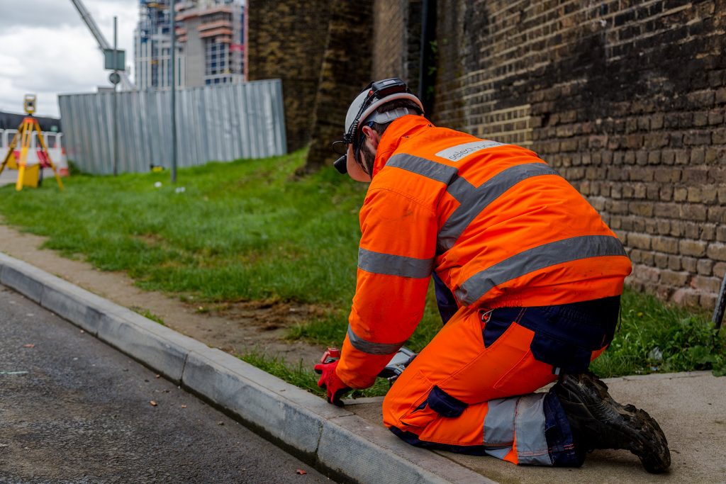
Setting Out Engineering is also a key part of our comprehensive service, including setting out marks for gridlines and sub-structural works: building formation levels; ground beams; pile positions; and drainage runs. We digitally upload the accumulated plans, coordinates & layouts into our Total Stations & GNSS, allowing us to transfer the design onto the ground at any given location.
Also see 3D Laser Surveys.
Our extensive experience working with prestigious clients on the UK’s most complex projects has allowed us to reach a stage where we can guarantee an extremely high standard that comes highly recommended.
- Utility topographical surveys
- Levels surveys
- Setting out
- As-laid recording
- Measured building surveys
- Land surveys
- Highways surveys
- Airport runway alignments
- Laser surveys
See what Select Surveys can do for you. Send us an enquiry.