Photogrammetry Services
UAV Surveying
Drones save us a substantial amount of time and money for topographic or boundary surveys and in conjunction with our surveyors, they enable us to carry out surveys of large areas of land on a daily basis, increasing your project productivity.
Orthomosaics
We capture hundreds of images during the drone flight and we are able to merge them to create a seamless high resolution mosaic. This orthomosaic or orthophoto is can be used to take direct measurements and can even be imported into CAD or GIS software for the placement of roads and buildings.
Volume Measurement
Drone technology is utilised to measure the cut and fill volumes of stockpiles and can be done quickly, accurately and without the need to climb the mounts and put workers’ safety at risk.
3D Modelling
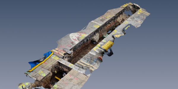
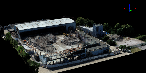
We are able to create accurate and clear 3D models spanning across large areas using drone technology, and we can combine them with ground-based laser scanning to produce an immaculate 3D Model or your vision.
Asset Inspection
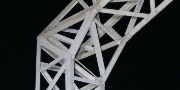
Drones provide a safe, quick and highly cost-effective way to inspect a company’s asset. We utilise drones to inspect any desired sections of a building or structure, such as a valley of a roof, slopes etc. without inflicting unnecessary risk on workers.
Digital Surface/Terrain Models (DSM/DTM)
The digital models produced using drone technology can be used in a wide range of areas e.g. drainage, planning, visualisation, height analysis, sight lines etc. Contour lines can also be produced from either the DSM or DTM.
Photography & Video
We utilise aerial images and videos to capture the true magnificence of an object or a building in a way that cannot be achieved through ground-level photography. We deliver a completely new visual perspective at an affordable price (significantly less than hiring a helicopter and a cameraman).
Progress Monitoring
Drones can also be effectively deployed to help to monitor progress on a project whilst the digital information can be used by onsite team (i.e. project managers, contractors, architects and engineers) and offsite stakeholders including senior management. This will help to track a project’s progress, manage resources, reduce downtime, and ensure that the project is running on schedule and to budget.
Thermal Imaging
Thermal imaging is an important area within the industrial and construction sectors and with the development of drone technology it is now possible to carry out a thermal inspection from the air. Thermal imaging can be particularly useful for inspecting photovoltaic systems, inaccessible buildings, electric power lines, thermal insulation testing, archaeology or nature and animal observance.


