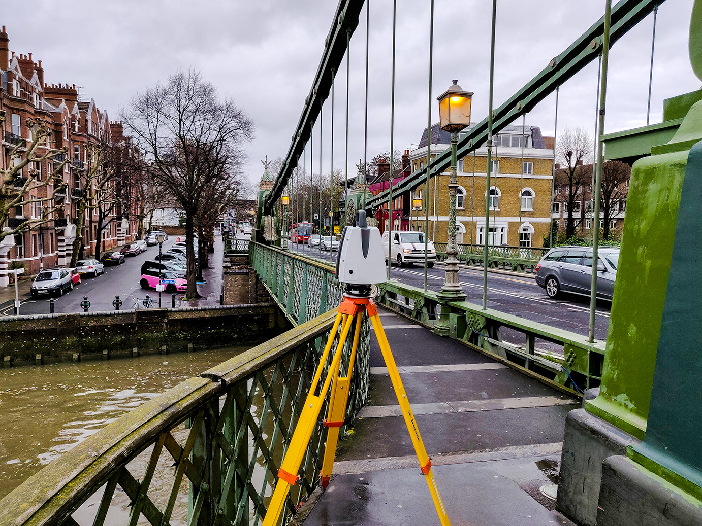
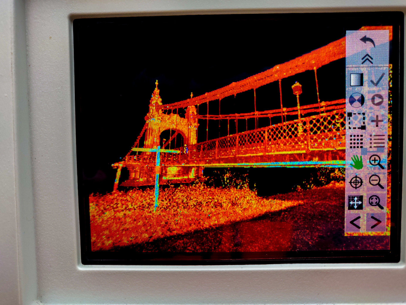
We are regimented in utilising the most advanced innovations available to laser scanning technology in our efforts to support our clients in collecting High Definition imagery. Our detailed information can be modelled to produce an enhanced deliverable in your required format to help with safety & planning critical decisions throughout your project.
We are extremely efficient when implementing this into a BIM process as our laser scanning survey delivers information straight into a 3D model, providing more accurate survey data with the ability to verify the real-time construction against your design and thus identifying errors and design constraints at the earliest stage, saving your project on wasted time and additional costs.
Our laser scanners measure up to 1 million points a second up to 1 km away and this allows us to provide accurate 3D information to our clients for all types of applications including: enhanced visualisation of projects; electricity sub-stations; asset management; and public consultation videos. Our commitment to maximising productivity on site has extended our capabilities to:
- Remotely capturing data on potentially dangerous areas including roads and motorways
- Capturing data and an unprecedented speed (particularly on sites with limited or restricted access)
- Recording data more accurately, subsequently limiting risks and improving decision making
- Achieving unrivalled detail in the 3D model deliverable, thus increasing construction project productivity
Thanks to our innovative and proven processes, we are able to offer a wide range of deliverables that create visibility around the above & below ground environments surrounding a project:
- 2D plans and elevations
- 3D models
- Imagery
- Fly-through videos
- Point clouds.
- Topographic surveys
- Measured building surveys
- Construction inspection & verifications
- Heritage surveys
- Engineering and monitoring
- Utility surveys
See what Select Surveys can do for you. Send us an enquiry.


