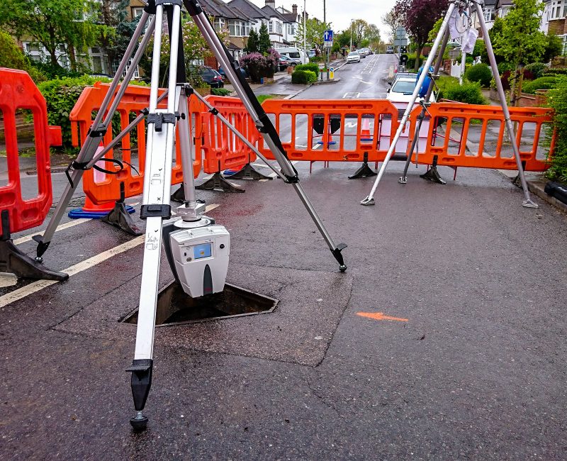
Mapping the subsurface utility environment in 3D is a critical process prior to excavation, and it minimises disruption to utility consumers, road traffic & pedestrians throughout the course of your project.
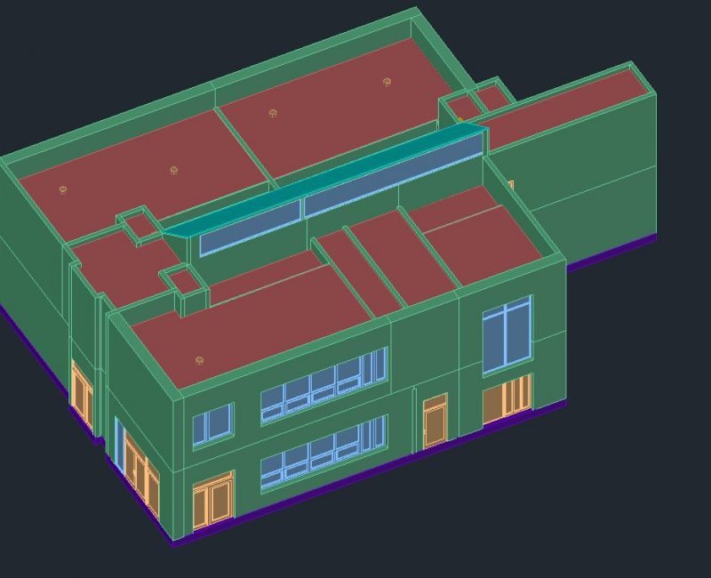
Experts in Utility, Land Surveying & BIM Management
We use cookies to ensure that we give you the best experience on our website. If you continue to use this site we will assume that you are happy with it.