Select Surveys are continually investing in the latest surveying technology to help their clients reduce risks, increase our productivity and provide enhanced services. Select Surveys have recently expanded their capability in capturing 3D point clouds by investing in the latest laser scanning technology.
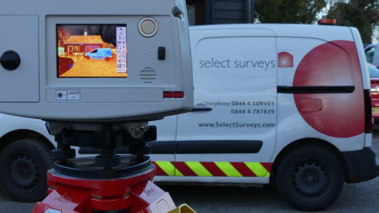
Here at Select Surveys, we are really pleased to announce our purchase of a new laser scanner from Leica Geosystems. The Leica P50 High Definition Surveying laser scanner is the latest surveying tool from the P-Series of scanners to be released by Leica Geosystems and Select Surveys are excited to be the first in the UK to take delivery.
This latest addition is the fastest 3D laser scanner with a measurement range of over 1 km, which maximises our productivity on site. This supports our clients in many ways:
- Remotely capture data on potentially dangerous areas such as roads and motorways
- Capture data faster especially on sites with limited access
- Increased accuracy of data capture reduces risk and improves decision making
- Increased detail in the 3D model deliverable increases construction project productivity
Using the latest innovations delivers benefits on many different projects, increasing productivity and enhancing deliverables with topographic surveys, building surveys, construction inspection & verification, heritage surveys, engineering and monitoring. This combining with our high quality utility surveys, providing a complete view of projects to support decisions by our client both above and below the ground.
The output straight from a laser scanner is a 3D point cloud and High Definition imagery. This type of information is a benefit to our clients for all types of applications including enhanced visualisation of projects, re-development of complex sites such as electricity sub-stations, asset management and public consultation videos.
This highly accurate and detailed information can be modelled to produce an enhanced deliverable in a suitable format that our clients can use, helping them make important decisions in their work.
This is particularly evident for infrastructure and building projects working in the BIM process. Laser scanning delivers information straight into a 3D model providing highly accurate survey data, with the ability to easily verify the actual construction against the design and being able to identify errors and design constraints at an early stage, delivering time and cost savings.
There are many deliverables which benefit from using laser scanning technology for data capture on projects. These include simple 2D plans and elevations, 3D models, imagery, fly-through videos and point clouds.
To find out more about how our latest technology can help you on your projects please contact us here

For more information on laser scanning please feel free to view the following videos and specifications.
Laser Scanning – The Basics Chapter 1 of 3 https://youtu.be/cUI6HD_d89k
Laser Scanning – How It All Works Chapter 2 of 3 https://youtu.be/1lDO1UevAJI
Laser Scanning – Simple & Complex Projects Chapter 3 of 3 https://youtu.be/cxTYYce_d_8
Leica P50 Laser Scanner technical details are here