
PROJECT OVERVIEW
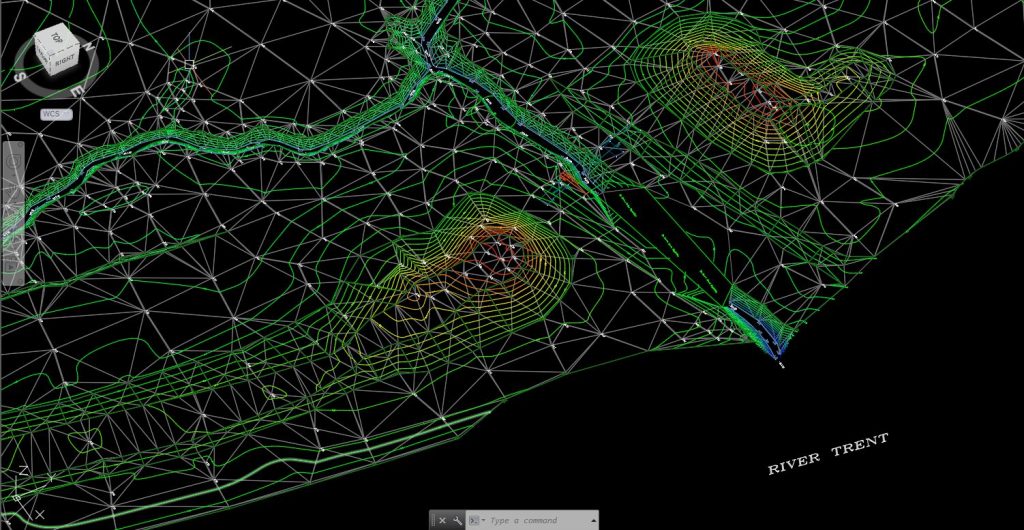
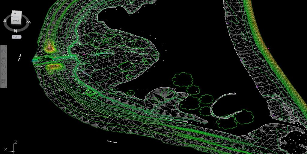
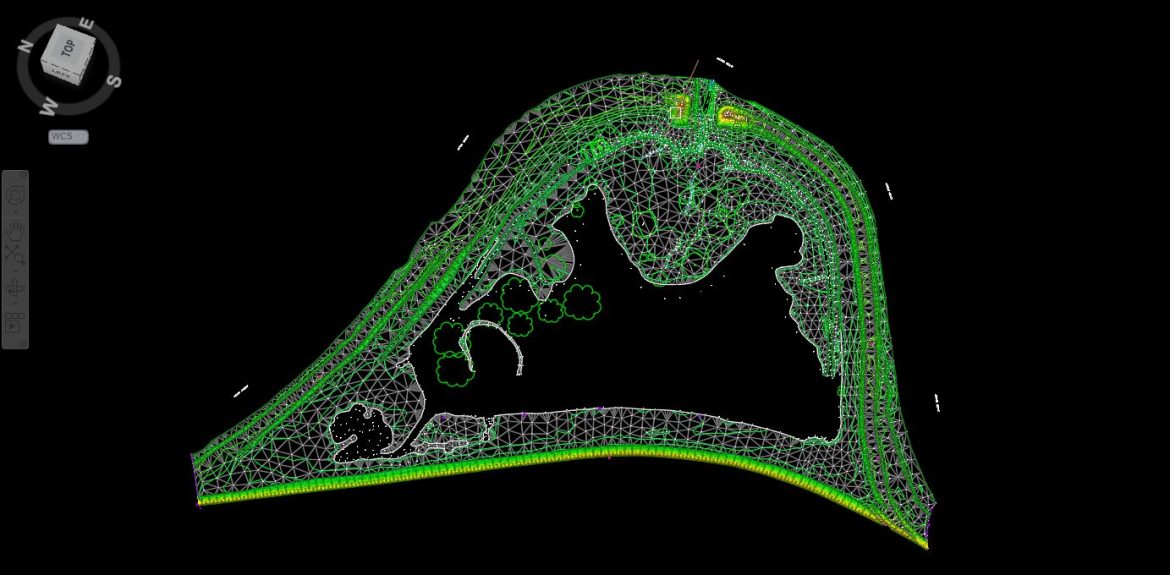
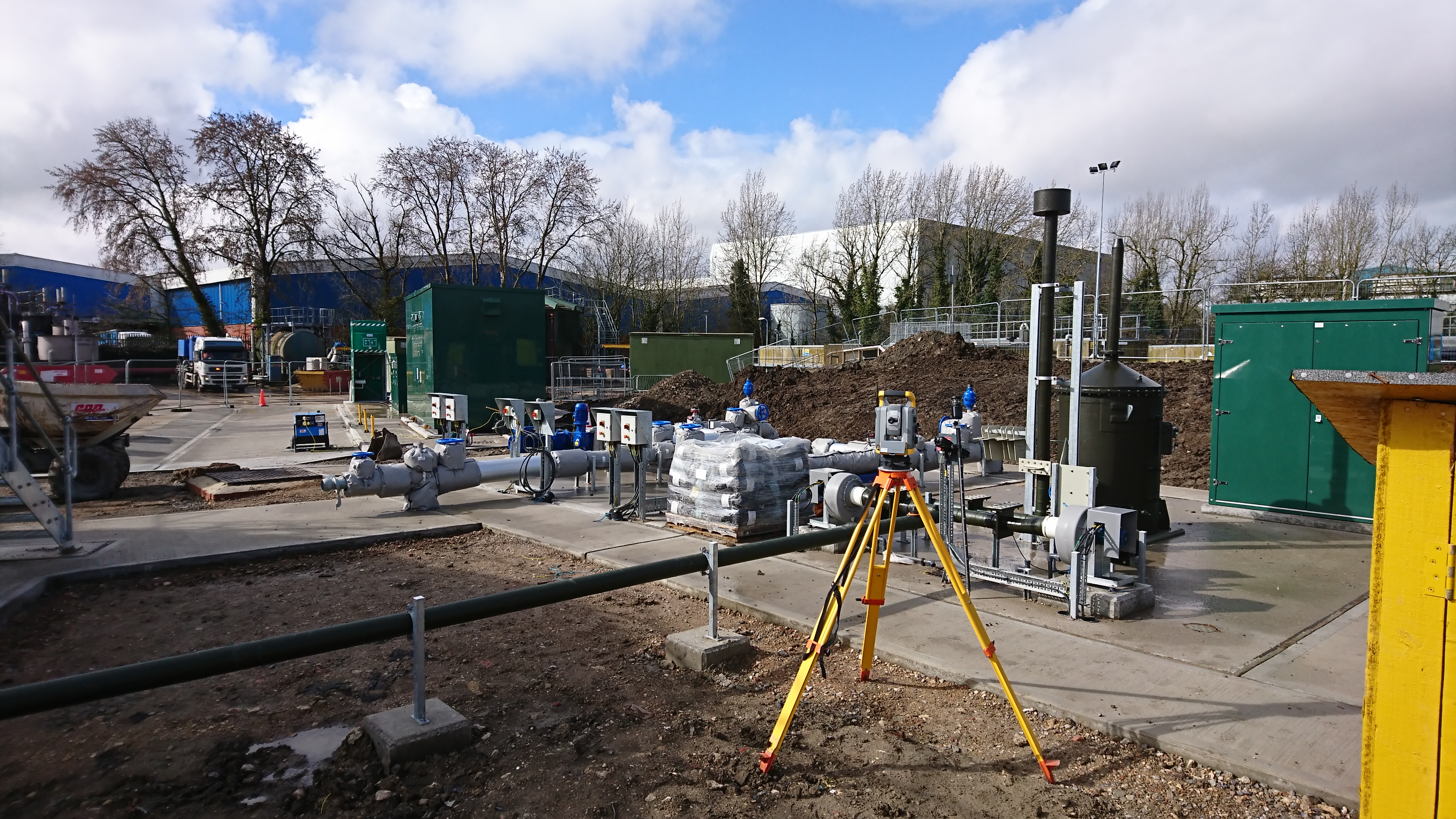
The client asked Select Surveys to provide a highly precise Digital Terrain Model to facilitate design procedures for land adjacent to the River Trent. Our teams carried out a 3D Topographical Survey of the area, including the ponds & channels created at the band of the river Trent that is occupied by eels.
In order to accumulate and to understand as much of the land information as possible, we established primary & secondary control points and subsequently delivered a full land survey layout with Contours every 20cm, along with an accurate Digital Terrain Model (DTM).
- Project Name Out Ings Eel Mitigation
- Client SSE / Trent Rivers Trust
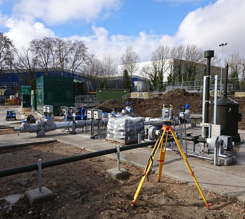
- Survey Type Topographic & Setting Out
- Location River Trent
- Year 2019
To find out more about Topographic Surveys, Setting Out or working with Select Surveys, please contact us at our office or click here to get in touch.
